Project Highlight
The City of Oxford was awarded Transportation Alternatives Funds for the construction of phase II of the Oxford Recreational Trail. Design and review of the project followed the ODOT Project Development Process (PDP) and NEPA process. Bayer Becker led the team with Stantec providing geotechnical, structural, and environmental services.
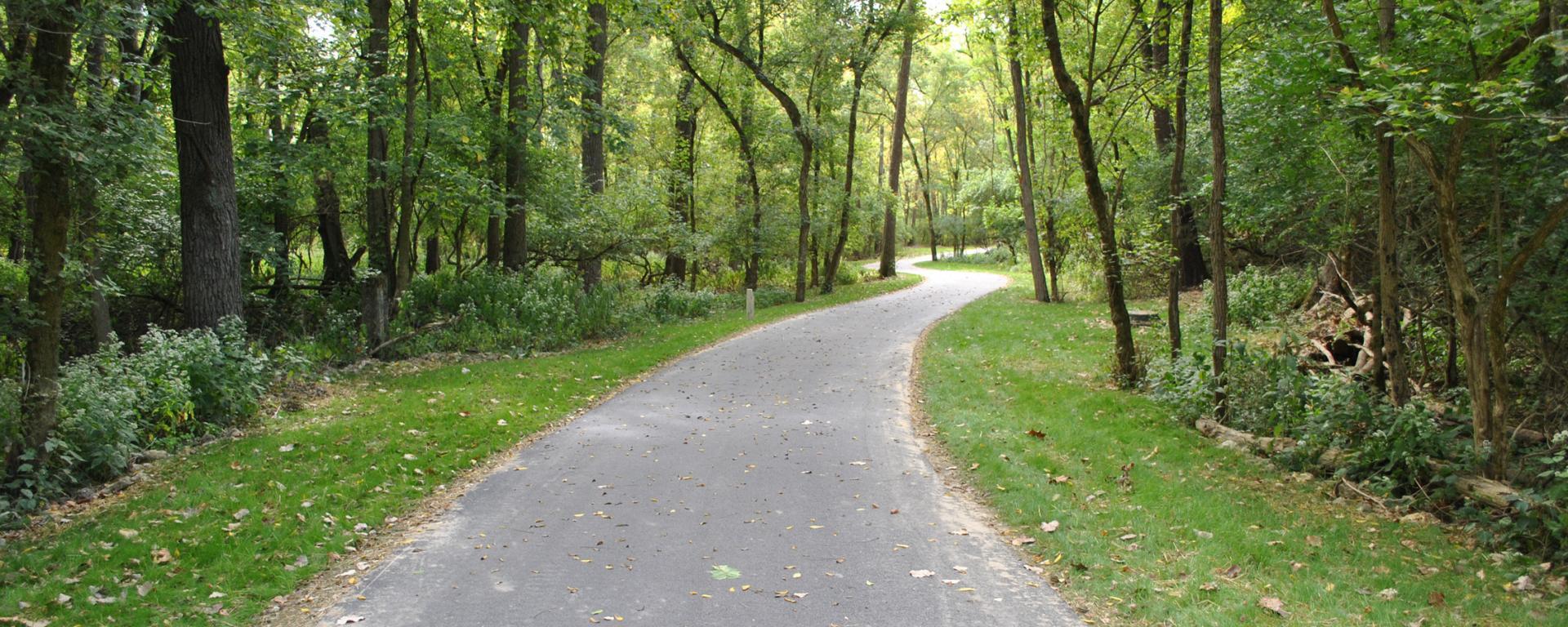
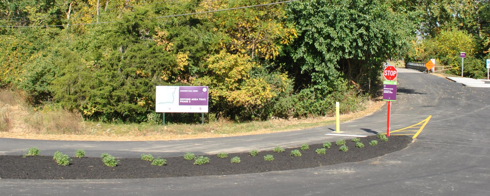
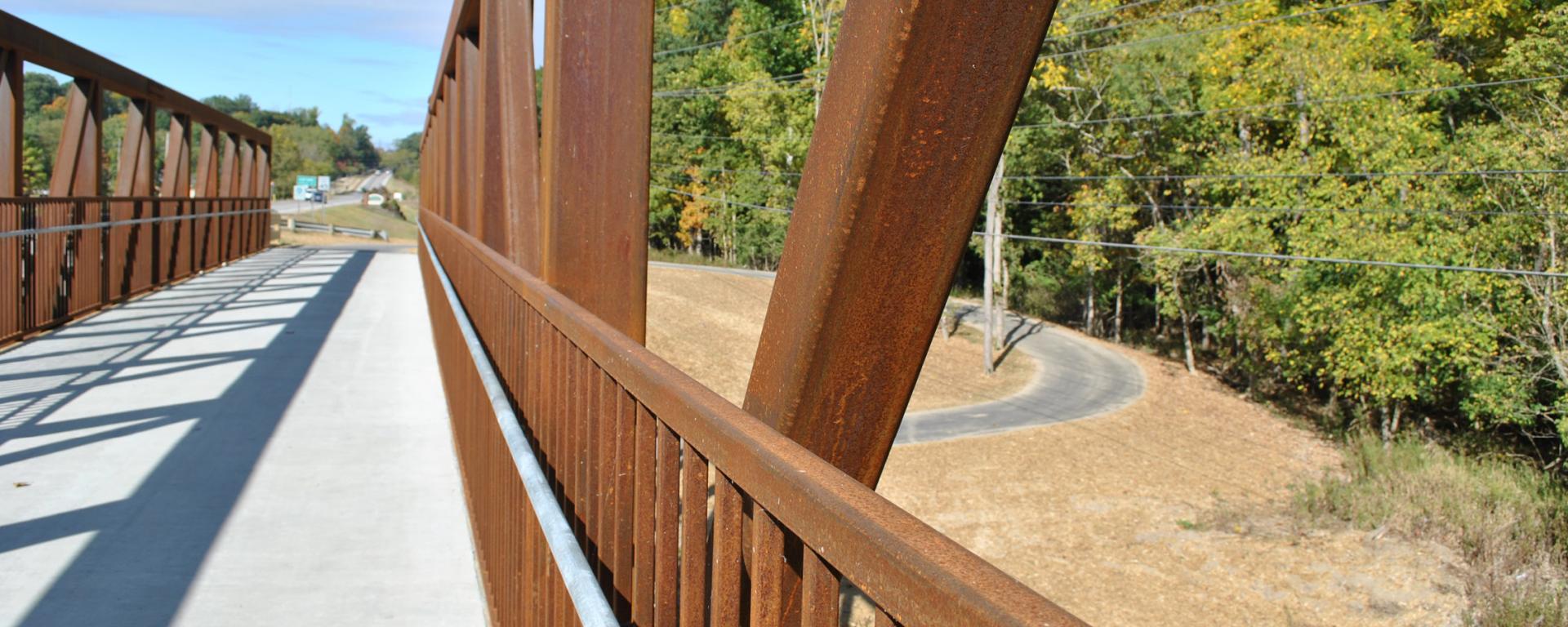
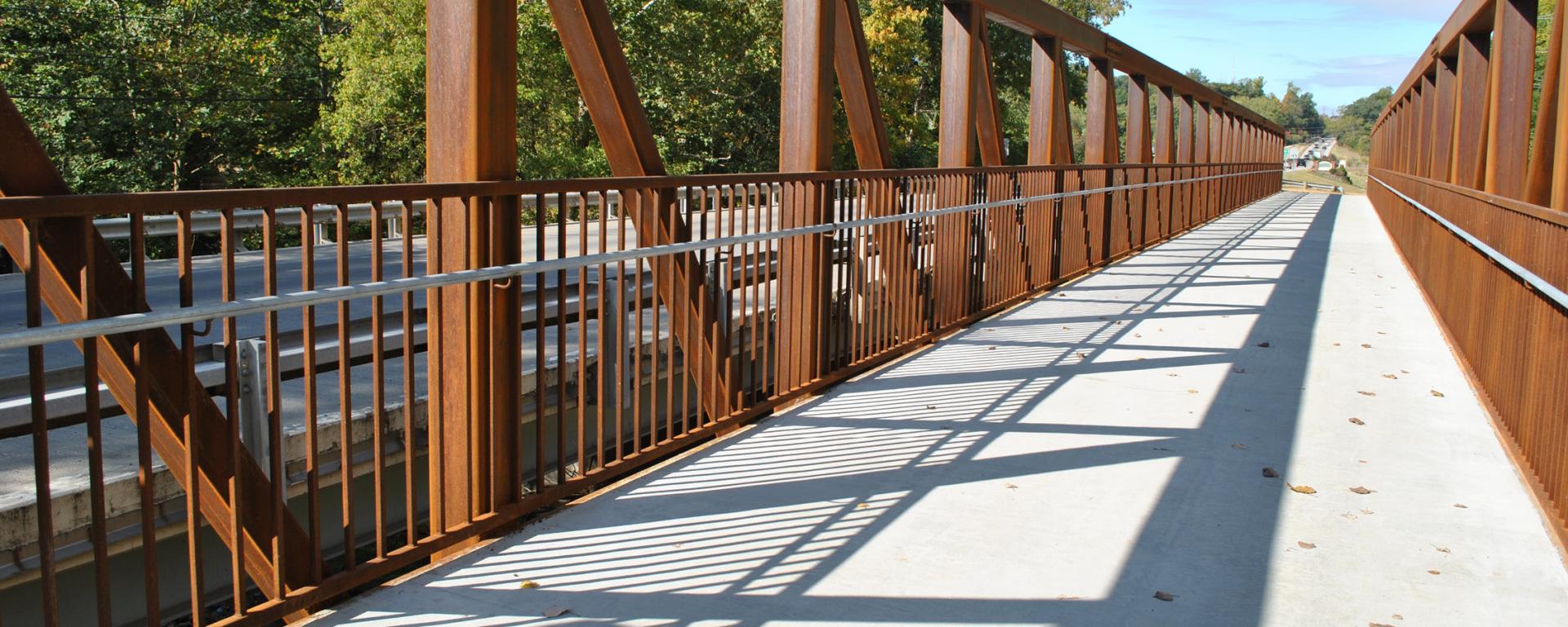
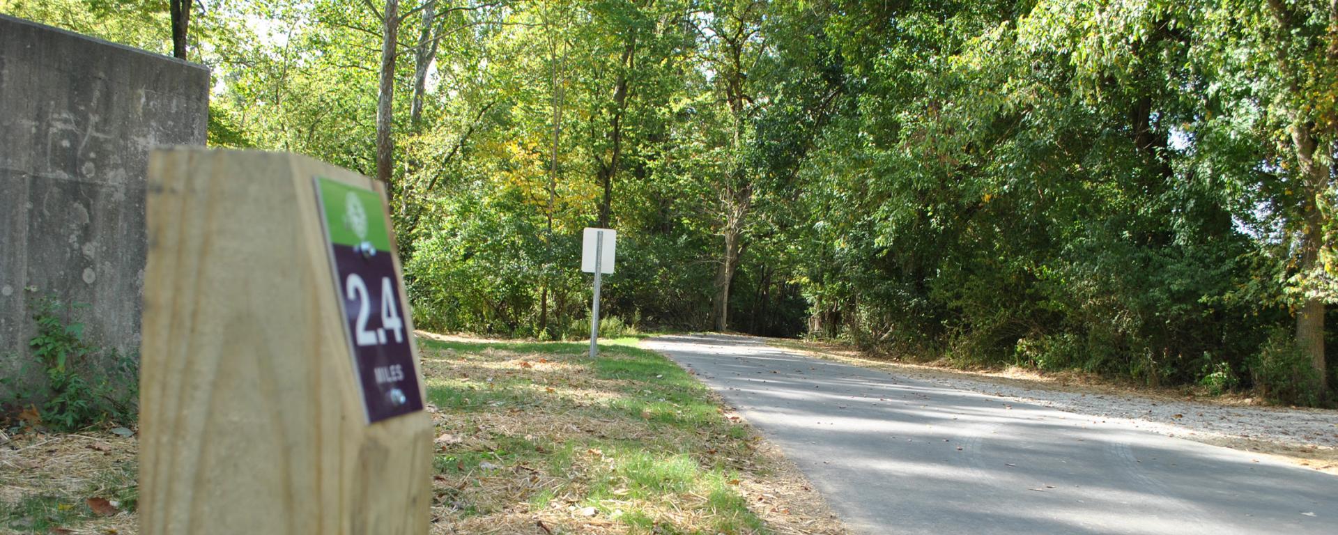
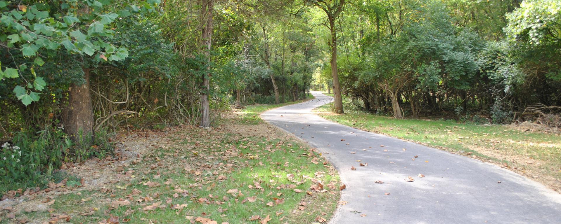
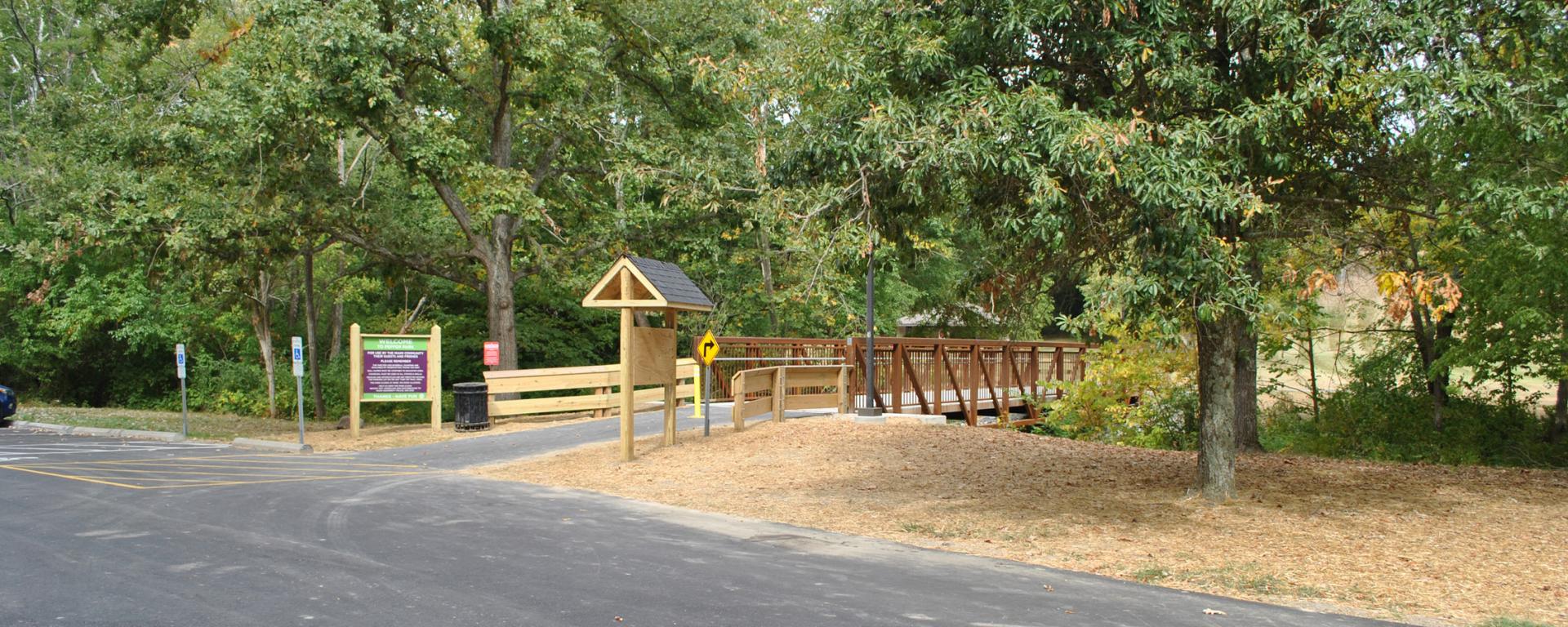
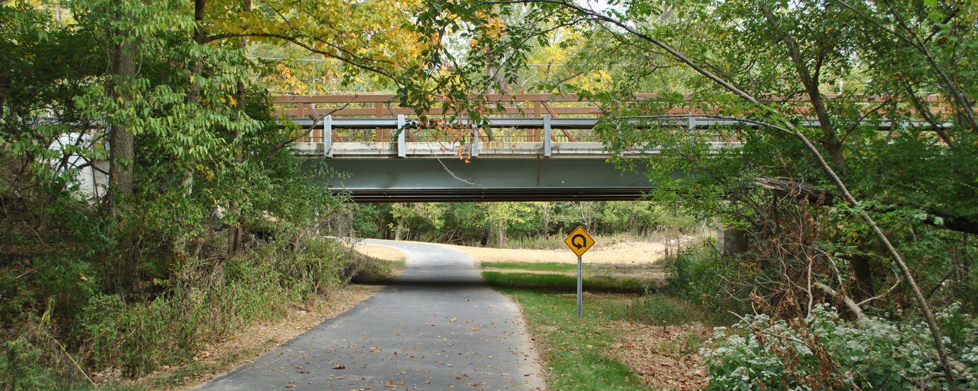
Phase II of the Oxford Recreational Trail project includes the construction of a 10 foot wide asphalt off-road multi-use trail on the southeast side of Oxford. The trail extends from Peffer Park (on US 27) at the southern terminus, approximately 1.53 miles to SR 73. In addition, the project includes a short connector which extends from the proposed trail in the vicinity of Oxford’s Water Treatment Plant west along SR 73 for approximately 1,200 feet. The project includes two bridges: one which will carry the proposed recreational trail across Collins Creek, just west of US 27 and the second which will carry the trail across Four Mile Creek, just north of SR 73. The proposed trail is Phase II of Oxford’s off-road multi-use recreational trail system, which will eventually provide 12 miles of multi-use paths connecting key points in Oxford. The project traverses property owned by Miami University and the City of Oxford.
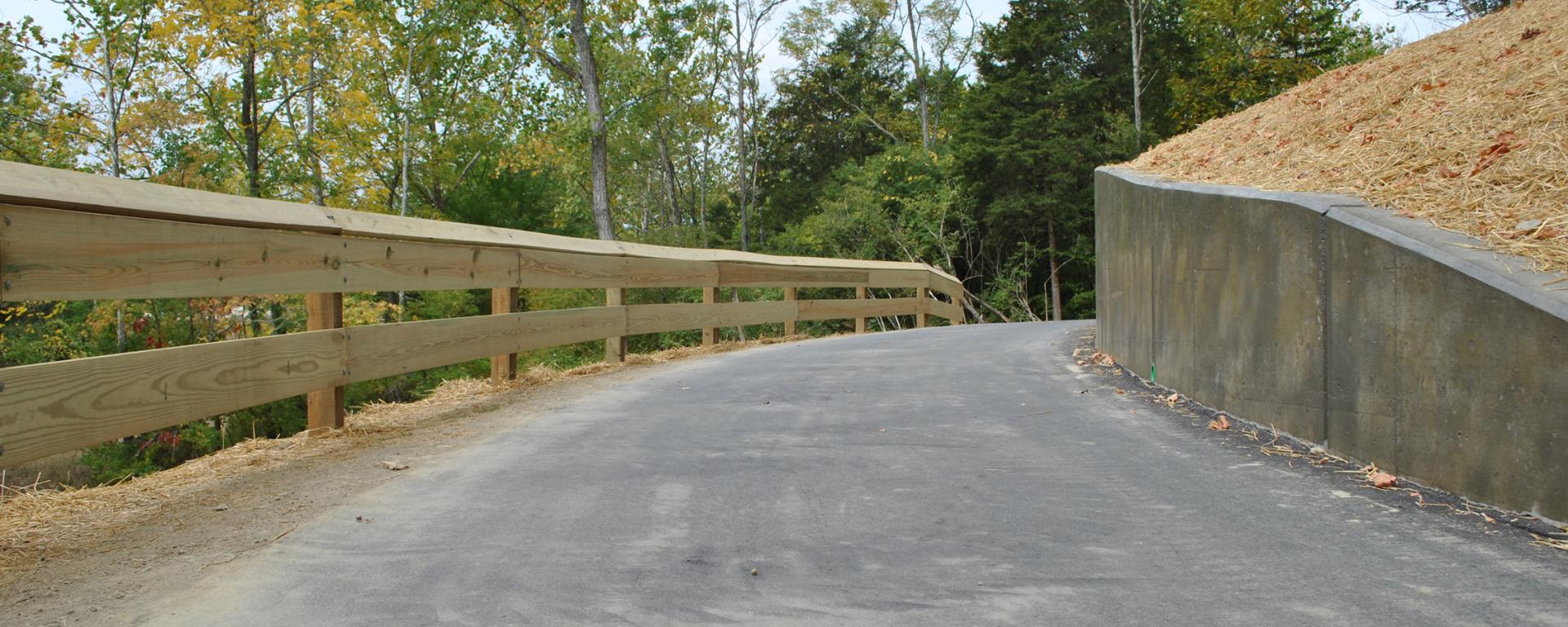
Bayer Becker designed the trail to maximize the safety and enjoyment of users, as well as to preserve trees, streams, wetlands and two protected animal species along the route. For the main section of the path, Bayer Becker designed an alignment and profile with a maximum grade of 5% to meet ADA regulations and to provide a comfortable experience for pedestrians and bicyclists. To obtain this grade, various alternatives were evaluated with respect to constructability, cost, aesthetics and environmental impact. Bayer Becker designers achieved the desired result with a combination of earthwork and two retaining walls. After the desired grades were obtained, the alignment was adjusted to minimize tree removal and impacts to six minor streams and four wetlands. The minor streams were crossed with small culverts, and the two major streams were crossed with pedestrian bridges. Underdrain systems were designed to maintain hydraulic connectivity where wetlands were crossed. Finally, the design was adjusted to protect two animal species. Culvert locations and inverts were adjusted to avoid impacts to Sloan’s crayfish, which were found in one of the streams, and potential roosting locations for the Indiana bat were identified and avoided.
For the section of the trail adjacent to S.R. 73, a new roadway shoulder was designed wide enough to accommodate the trail and a buffer zone between the trail and roadway. This required the realignment of the roadway drainage system, and a new ditch and storm sewer system was designed to meet the City’s aesthetic requirements to avoid impacts to utility poles and stay within existing right of way.
* Recipient of ODOT Transportation Alternatives Funds

